Severe storms evolve in milliseconds, yet most Doppler radar calibration routines still rely on mechanical targets or slow optical systems that miss the finest hydrometeor dynamics. CoaXPress high-speed cameras change that equation. By streaming hundreds of frames per second at low latency, these industrial imagers let atmospheric scientists validate every pulse, phase, and return value inside the radar equation. This article explores how CoaXPress high-speed cameras from KAYA Vision—specifically the Iron 2011E and Iron 4600—enable precise Doppler radar calibration that directly improves severe weather prediction imaging.
Doppler radars estimate precipitation type, wind field intensity, and rotational signatures by measuring phase shifts in returned radio waves. Minor biases in transmitted power, receive-chain gain, or timing jitter can cascade into kilometer-scale errors on reflectivity maps. Traditional calibration tools—metallic spheres on cables, rotating drums, or disassembled lab setups—cannot replicate the chaotic, high-speed motion of real rain, hail, and debris. In contrast, optical imaging provides a ground-truth reference for droplet velocities and sizes, but only if the camera system has sufficient frame rate, resolution, and synchronization accuracy. Enter CoaXPress high-speed cameras.
CoaXPress Interface Advantages
- 12.5 Gbps per cable throughput ensures lossless transmission of every calibration frame.
- Deterministic triggering on the order of a few microseconds aligns optical frames with radar pulses.
- Power over CoaXPress (PoCXP) simplifies field deployment on towers, trucks, or UAVs.
- Long-distance coaxial or fiber links keep cameras safely away from high-voltage radar hardware.
These characteristics make CoaXPress high-speed cameras uniquely suited for Doppler radar calibration in both controlled chambers and outdoor test ranges.
The Challenge of Capturing Fast Hydrometeor Dynamics
Raindrops 2 mm in diameter travel 6–9 m/s; hailstones exceed 30 m/s; debris lofted by tornadoes may exceed 50 m/s. To freeze motion blur at those velocities with a 6.5 µm pixel, exposure times must drop below 5 µs. Only cameras with global shutters, high sensitivity, and low read noise can deliver useful data under such constraints. CoaXPress high-speed cameras like the Iron 2011E meet that demand with 2.6 µs minimum exposure, 513 fps at 8-bit output, and <6.2 e- temporal noise.
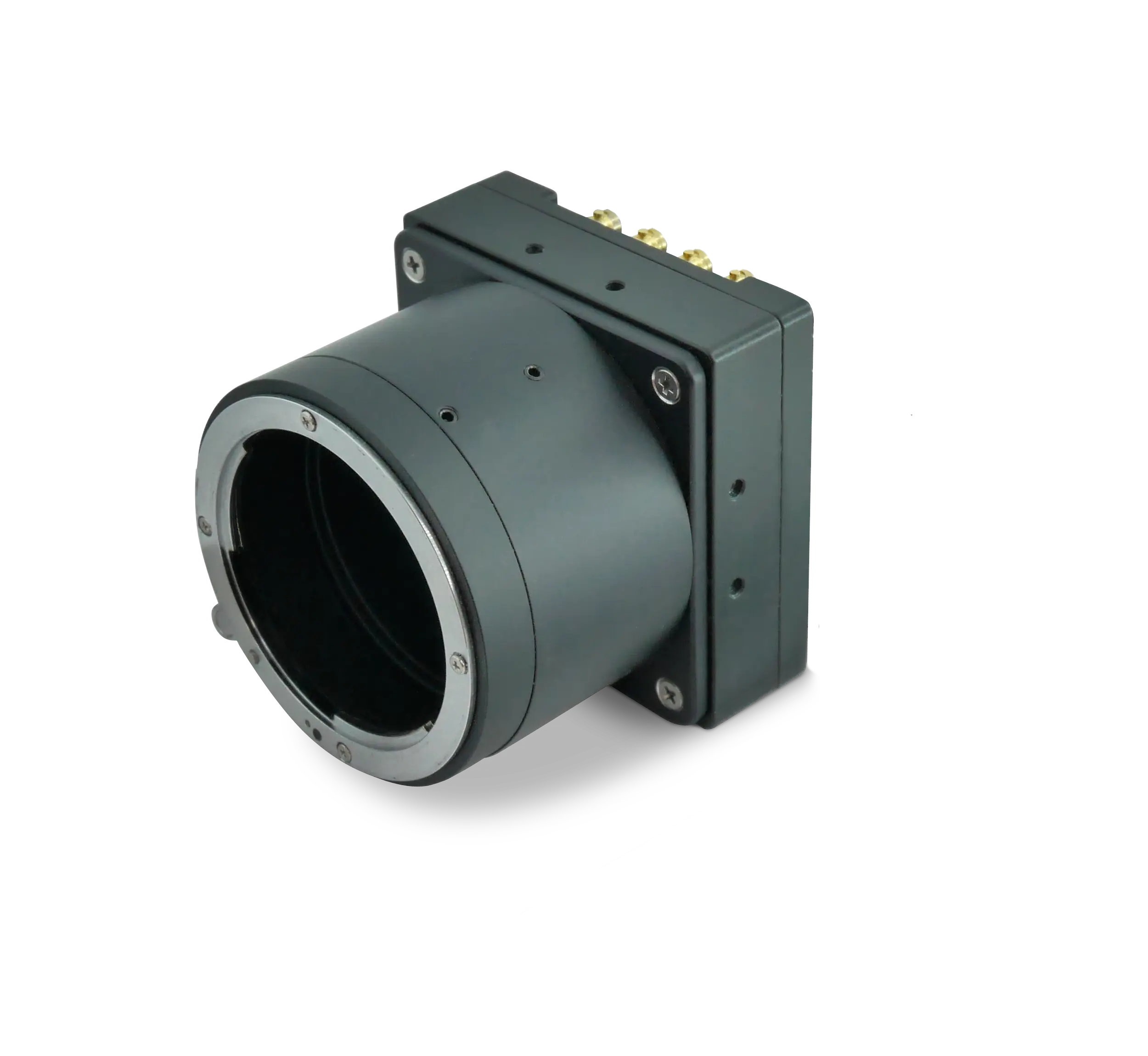
Iron 2011E: Microsecond Precision for Drop Size Distribution
The compact Iron 2011E pairs a 2048 × 1152 GSENSE2011e sensor with a CoaXPress v2.0 interface. During calibration, the camera looks across a spray tunnel or natural rainfall while the radar under test emits pulses. By wiring the camera’s opto-isolated input to the radar’s sync output, each optical frame is tagged with an exact pulse number. Scientists then compute drop size distribution (DSD) from the images and compare it with radar reflectivity (Z) to derive correction curves.
Key Iron 2011E attributes that boost Doppler radar calibration:
- Global shutter captures every hydrometeor without distortion.
- 513 fps sustained throughput tracks fast-moving particles over multiple range gates.
- >70 dB dynamic range allows simultaneous imaging of light drizzle and dense hail cores.
- GenICam compliance pairs seamlessly with common radar analysis software.
- −40 °C to 80 °C operating range removes the need for heated enclosures at mountain or arctic sites.
Iron 4600: High-Resolution Beam Pattern Validation
Where the Iron 2011E excels at speed, the 8320 × 5456 Iron 4600 delivers area coverage. Engineers position the camera on a scissor lift or drone at known azimuth and elevation angles relative to the radar antenna. By imaging a calibrated LED array that blinks in sync with radar pulses, they map side-lobe levels and beam width with pixel-level accuracy. The camera’s 43.8 mm diagonal sensor paired with 4.4 µm pixels yields a wide field of view without sacrificing detail, crucial for verifying dual-polarization patterns.
Highlights for radar beam diagnostics:
- 100 fps at 8-bit keeps pace with rapid antenna sector scans.
- >90 dB dynamic range captures main-lobe and side-lobe energy in a single shot.
- PoCXP or 10–28 V external power options match mobile calibration rigs.
- Factory-aligned sensor ensures geometric precision for accurate angle measurements.
- Optional IP67 protection resists dust and blowing sand at desert radar sites.
Practical Synchronization in the Field
In a typical test range, both Iron series cameras receive an external trigger derived from the radar’s pulse-repetition-frequency output. The opto-isolated I/O built into each camera guarantees electrical safety, while GenICam commands let technicians fine-tune timing offsets in sub-microsecond steps. This tight coupling ensures that every optical exposure corresponds to a specific radar pulse, making cross-modal correlation straightforward and repeatable without ad-hoc hardware.
Benefits for Severe Weather Prediction Imaging
- Lower false-alarm rate for tornado warnings thanks to cleaner velocity de-aliasing.
- Enhanced quantitative precipitation estimation (QPE) that feeds hydrological flood models.
- Improved hail size discrimination, aiding aviation route planners.
- Earlier identification of mesocyclone genesis due to sharper velocity signatures.
- Higher confidence in nowcasting algorithms that ingest both radar and optical data streams.
With CoaXPress high-speed cameras firmly integrated, meteorological agencies gain more accurate base reflectivity, differential reflectivity, and spectrum-width products, all of which feed into numerical weather prediction (NWP) ensembles.
Field Deployment Considerations
Calibration often occurs at remote radar outposts exposed to lightning, humidity, and temperature extremes. The aluminum housings of Iron series cameras dissipate heat efficiently, while MIL-STD-810G vibration and shock testing certifies them for installation on rotating pedestals or mobile risers. PoCXP simplifies cabling—one coax supplies power, data, and control—reducing failure points in adverse weather.
For longer baselines, CoaXPress-over-Fiber variants such as KAYA’s Iron CoF 2020BSI extend the same deterministic protocol over SFP+ links carrying up to 10 Gbps. Fiber immunity to electromagnetic interference is invaluable near high-power magnetron transmitters, ensuring calibration frames remain pristine.
Leveraging On-Camera Processing
Both Iron 2011E and Iron 4600 include on-camera defect-pixel correction, flat-field normalization, lookup tables, and region-of-interest (ROI) readout. Selecting a narrow vertical ROI aligned with the radar beam can raise the frame rate well above the full-frame 513 fps specification on the Iron 2011E while minimizing data volume for field laptops.
Multi-Sensor Fusion Architecture
Advanced calibration sites now deploy networks of CoaXPress cameras around the radar, each locked to GPS-disciplined IRIG-B timecodes. These optical nodes form a three-dimensional visualization grid, allowing researchers to reconstruct droplet trajectories in volumetric space. When that dataset feeds dual-Doppler retrieval algorithms, vertical wind profiles emerge that were previously unattainable with radar alone.
Scalability for Nationwide Radar Networks
National meteorological services maintain dozens of S-band and C-band radars. Rolling out a consistent calibration framework demands standardized hardware. KAYA Vision’s unified GenICam driver stack lets agencies clone configuration files across every site, whether the station uses Iron 2011E for speed or Iron 4600 for resolution. Firmware updates propagate over the same CoaXPress link, trimming maintenance visits and ensuring that all cameras operate with identical feature sets.
Emerging Research Directions
Researchers are already experimenting with ultraviolet-sensitive CoaXPress-over-Fiber models such as the Iron CoF 2020BSI-UV to study ice-nuclei activation inside thunderstorm updrafts. The Iron 4600’s >90 dB dynamic range, meanwhile, opens the door to simultaneous lightning and rainfall imaging. Machine-learning models trained on these rich optical-radar datasets are showing promise in predicting storm-cell intensification 10–15 minutes earlier than legacy approaches.